
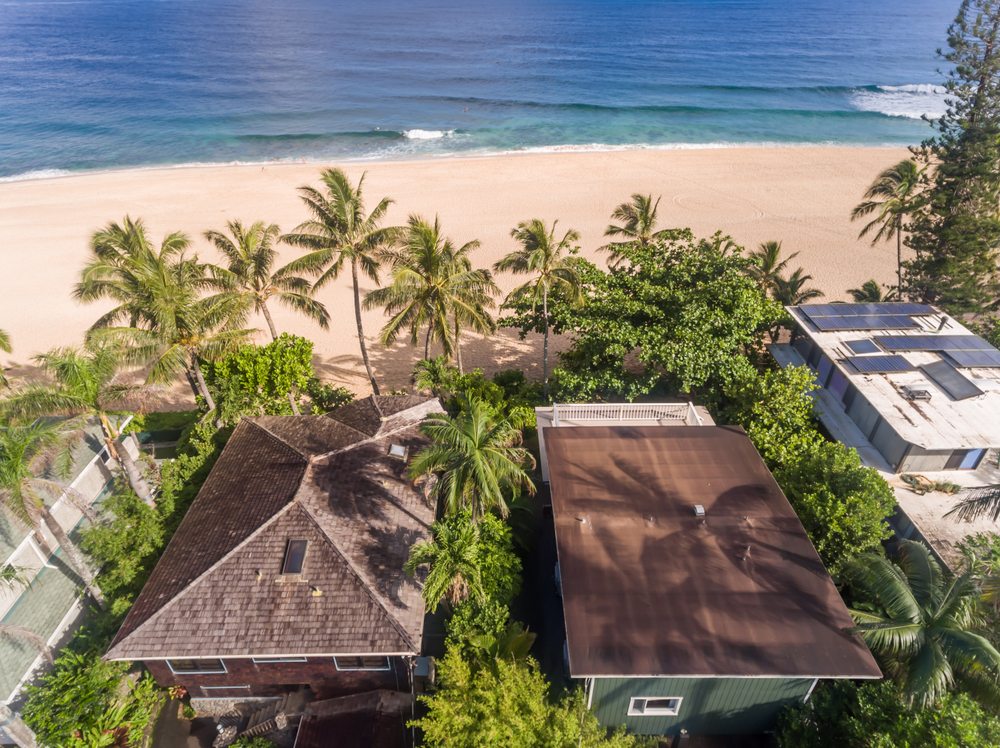
Like South Carolina, Hawaii has a mandatory seller disclosure form that must be completed by sellers of residential properties. Unlike South Carolina, Hawaii updated its legislation in 2021 to become the first state to require the disclosure of the risk of sea level rise to the property based on the 3.2-feet Sea Level Rise Exposure Area. The legislation went into effect on May 1 of this year.
Hawaii has developed a sea level rise viewer which you can check out here. To identify a property location relative to a sea level rise exposure, the street address or tax map key of the property must be entered into the viewer. The viewer is intended to provide map data depicting projections for future hazard exposure and assessing economic and other vulnerabilities resulting from rising sea levels.
The viewer was developed by the Pacific Islands Ocean Observing System (PacIOOS) at the University of Hawaii School of Ocean and Earth Science and Technology. Mapping is based on an upper-end projection of 3.2 feet of sea level rise by the year 2100.
Like the existing flood zone disclosure requirement, the sea level risk disclosure is intended to help home buyers better understand how the sea level risk will impact their properties. The disclosure requirement applies to oceanfront and near-oceanfront properties as well as properties near streams and other areas likely to flood in times of heavy rainfall.
Will we see similar legislation in South Carolina and other coastal states? My guess is that we probably will.
